Adding a chartplotter and AIS
While I was at it, I decided to add an AIS (Automatic Identification System) receiver, settling on the Smart Radio SR162 dual channel receiver.
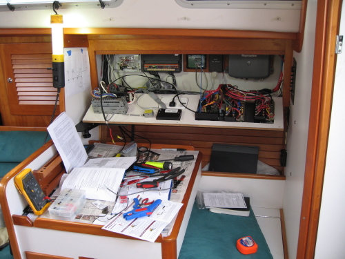
The boat came with a very fine B&G Hydra 2000 system, including a comprehensive set of instruments (wind, depth, speed) and an autopilot. I treated this existing system like a black box that expected NMEA 0183 input and output although, internally, the system is much more complicated than that with its own proprietary "Fastnet" network bus.
Integrating the AIS into an NMEA 0183 system is a little tricky. The AIS actually broadcasts its results onto the NMEA bus at 38,400 baud, instead of the normal 4,800 baud. The C80 can be set to handle this higher data speed, but then it, in turn, outputs its NMEA data (such as speed over ground, or waypoint data) also at 38,400, which of course, nothing else can read. After scratching my head about this for a while, I decided to use the SeaTalk output from the C80 instead and run it through the Raymarine E85001 bridge, turning it into NMEA 0183. This mostly worked, although it turns out a few crucial bits of data are missing (the NMEA sentence APB in particular). I know this all sounds pretty geeky, but if you're trying to do something similar, send me an email and maybe I can help.